The Aghlabid Basins of Kairouan
Raising the great reservoirs of the holy city, c. 860 CE
246 AH / c. 860 CE
 Educational historical reconstruction
Where
Kairouan, in Ifriqiya (Tunisia)
35.6919, 10.0922 · View on OpenStreetMap
Background
Kairouan, on a dry plain of the inland Maghrib far from any great river, was the first great city of Islam in North Africa, founded by the conqueror Uqba ibn Nafi (radiyallahu anhu) around 50 AH (670 CE) as the base of the faith and the seat of government for Ifriqiya. It grew into a holy city and a centre of Maliki learning, the city of Imam Sahnun (rahimahu Allah, d. 240 AH / 854 CE) and his Mudawwana, esteemed by the Muslim West as one of the great cities of Islam, with its famous Great Mosque. Its one chronic difficulty was water, for it stood in a thirsty, drought-prone land; and to remedy this the Aghlabids, the dynasty that governed Ifriqiya as autonomous emirs under the nominal sovereignty of the Abbasids, built a remarkable system of cisterns and open reservoirs. The most famous of these are the great open basins raised in the reign of the emir Abu Ibrahim Ahmad ibn Muhammad, whose works the chroniclers place in the years 246-248 AH (860-862 CE). They are two huge circular basins of stone, a smaller settling basin and, beside it, an enormous one whose diameter is given at roughly 130 metres, with a small kiosk on an island at the centre of the great basin where the ruler might sit above the water. Runoff and the flow of a feeder channel were led first into the smaller basin, where the sediment settled and the water cleared, before passing into the great basin for storage; from there it was drawn off and carried into the city. The Sunni geographer al-Bakri in his al-Masalik wa-l-Mamalik and the topographer Yaqut al-Hamawi in his Mu'jam al-Buldan describe Kairouan and its waterworks, and the Maghribi historian Ibn Idhari in al-Bayan al-Mughrib and al-Maliki in his Riyad al-Nufus preserve the memory of the Aghlabid emirs and their building. The basins are among the finest surviving works of early medieval Islamic hydraulic engineering and a monument to the care of the Aghlabids for the welfare of their holy capital. This scene depicts the basins at the moment of their completion and first use: masons setting the final stones with a timber crane, surveyors over their plan, and water-carriers loading jars onto donkeys for the city. In keeping with the project's ethics any figure is anonymous, with faces turned or blurred.
What you see
Two huge open reservoirs of stone fill the foreground of a dry plain: an enormous circular basin already brimming with water, and beside it a smaller round basin. They are not cisterns or wells but vast rings of ashlar masonry, open to the sky, the larger more than a hundred metres across.
On an island at the very centre of the great basin stands a small domed kiosk with arched openings on every side, a shaded resting-place set above the water where the ruler could sit and look out over his finished work.
The work is being completed before our eyes. At the left a timber shear-leg crane with rope and pulley hoists a dressed block from stacks of cut ashlar, while masons set the final courses; this is the last stage of a great building campaign, not a ruin or a quiet monument.
In the foreground two workmen lean over a drawn plan weighted on the ground, a wooden straightedge and a marked measuring rod beside it. The reservoirs are being laid out to a deliberate geometry, the careful surveying that a circular basin of this size demands.
An open stone channel with a wooden sluice-gate runs from the basins toward the city. Men fill two-handled clay jars at it and load them into the panniers of donkeys, and a line of laden beasts already winds away across the plain, carrying the water into town.
The setting is bare, treeless steppe under a bright midday sky, with no river in sight; the city on the skyline is built of mud-brown earth and stone. This is the dry inland Maghrib, a thirsty land where storing rainwater and runoff was a matter of survival.
On the horizon, within a low city wall, rises a massive square tower in tapering tiers, the great minaret of the congregational mosque. That fortress-like Maghribi minaret marks Kairouan, the first Muslim city of North Africa and the holy city of the Muslim West.
These are the Aghlabid basins of Kairouan, public reservoirs raised by the ruling emirs in the ninth century and still standing today. The scene shows their completion; any figure is anonymous, faces turned or blurred, with no individual shown by likeness.
Further reading & cross-references
al-Bakri, al-Masalik wa-l-Mamalik (11th c.): Andalusi Sunni geographer; his description of North Africa is a principal source for Kairouan, its mosque and its waterworks. High for the topography and the city's water problem; he does not give a builder's account of the construction.
Yaqut al-Hamawi, Mu'jam al-Buldan (13th c.): Sunni geographical dictionary. Used for the entry on Kairouan and the renown of its reservoirs in the dry inland Maghrib. High for place and reputation.
Ibn Idhari, al-Bayan al-Mughrib (early 14th c.): Major Sunni Maghribi history. Preserves the Aghlabid building campaigns and places the great basins in the reign of the emir Abu Ibrahim Ahmad ibn Muhammad, around 246-248 AH (860-862 CE). High for the dynasty and the attribution.
al-Maliki, Riyad al-Nufus (11th c.): Sunni biographical history of the scholars of Kairouan. Used for the city as a holy Maliki centre and for the milieu of Imam Sahnun (rahimahu Allah) and the Mudawwana. High for the religious milieu, not for the engineering.
The Aghlabid basins of Kairouan (extant monument): Material evidence of the first order. The standing great basin (its diameter given at roughly 130 metres), the smaller settling basin and the central kiosk are the direct guide to the depiction. The real outer wall carries rounded semicircular buttresses (not shown here) and the central island carried an octagonal pier; the image renders the centre as a domed kiosk. Confidence high.
Studies of early Islamic hydraulic engineering (modern): Non-confessional studies of medieval Islamic water supply. Used for the settle-then-store arrangement, the open-reservoir type and the surveying of a large circular basin. Confidence high.
Questions & answers
- Where is The Aghlabid Basins of Kairouan?
- Kairouan, in Ifriqiya (Tunisia)
- When did it happen?
- 246 AH / c. 860 CE
- What is the story of The Aghlabid Basins of Kairouan?
- Kairouan, on a dry plain of the inland Maghrib far from any great river, was the first great city of Islam in North Africa, founded by the conqueror Uqba ibn Nafi (radiyallahu anhu) around 50 AH (670 CE) as the base of the faith and the seat of government for Ifriqiya. It grew into a holy city and…
Related places

The Great Mosque of Kairouan Renewed
Aghlabid renewal (221-248 AH / 836-862 CE)

The Zaytuna of Tunis
628 AH / c. 1230 CE

The Arab-Norman Art of Palermo
524-590 AH / c. 1130-1194 CE
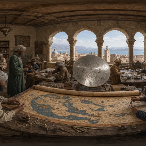
Al-Idrisi's Map of the World
549 AH / 1154 CE

The Expulsion of the Moriscos
1018-1023 AH / 1609-1614 CE

The Generalife Garden
731 AH / c. 1330 CE
Guess places like this in GeoSiyer
Drop into a 360° scene from Islamic history and pin where, and when, it happened.
Play GeoSiyer